Atoned Store
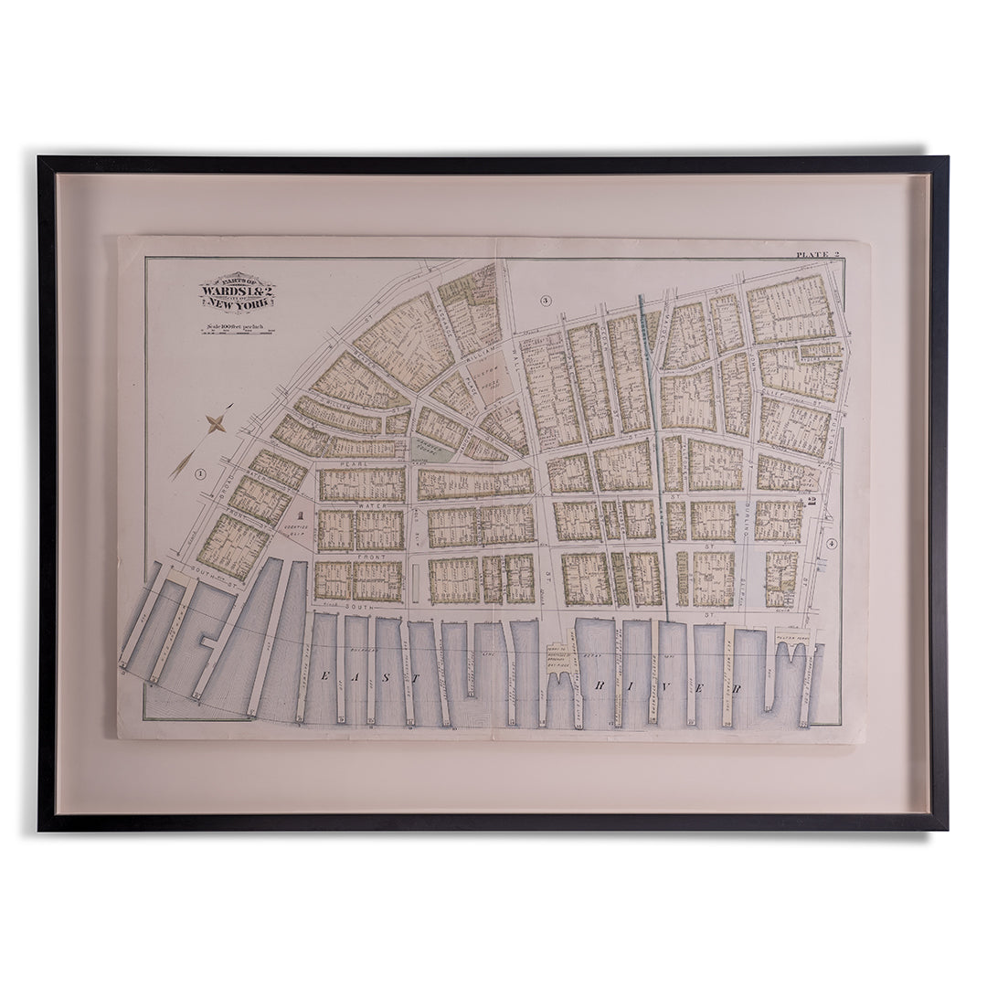
1879 New York City Wards 1 & 2 Map by Bromley
1879 New York City Wards 1 & 2 Map by Bromley
Couldn't load pickup availability
1879 New York City Wards 1 & 2 Map by Bromley
Fine condition in this museum grade frame and glass encasing an early New York City map showing the Wards 1 and 2 areas. Hand Water color in accordance with the protocols for this map maker an early land use map for Wall Street and the South Street Sea Wall community.
Product Features:
- By Bromley, 1879.
- Framed and mounted professionally within an archival frame for presentation with linen backing.
- Museum quality glass
- Reference Number: NA
- Serial Number: NA
- Product Dimensions: 29 1/4" x 38 3/4" x 1 1/4" (Standing Length x Standing Width x Standing Depth)
- Product Weight: 13.2 (lbs)
- Inventory ID: A017
Materials
Materials
Shipping & Returns
Shipping & Returns
Dimensions
Dimensions
Care Instructions
Care Instructions
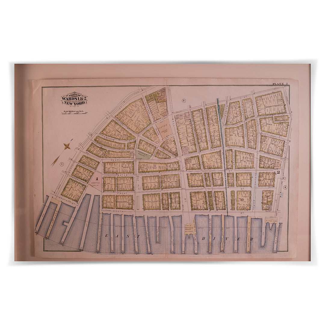
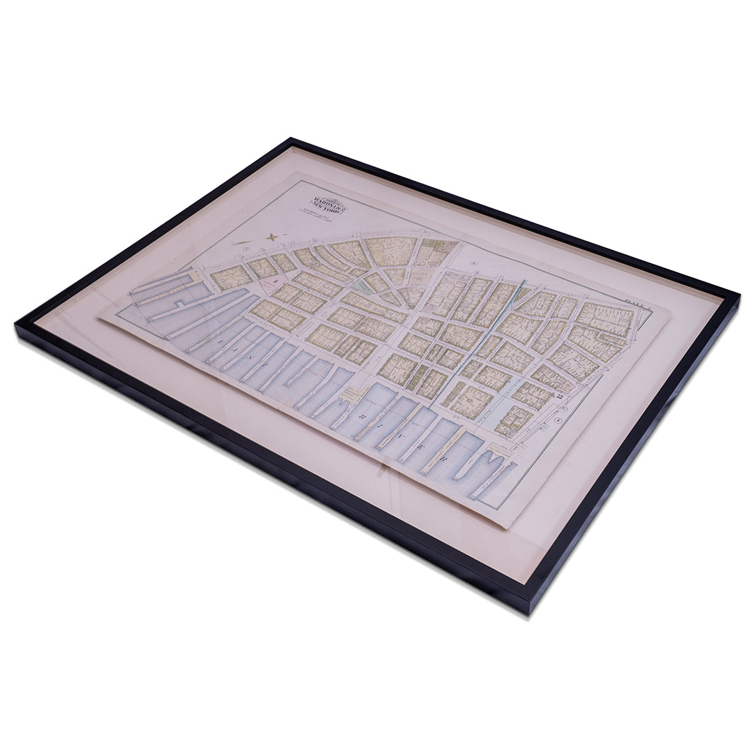
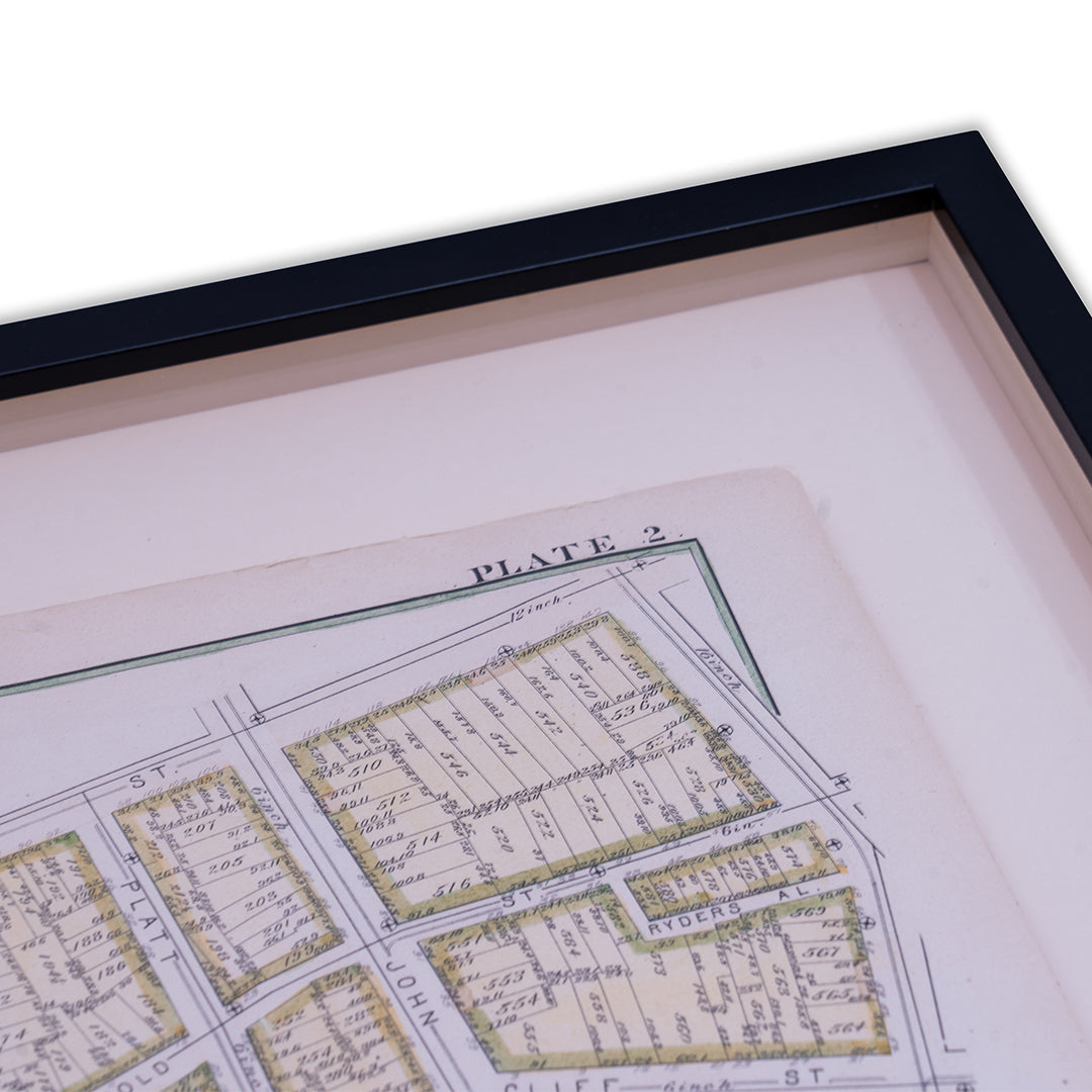
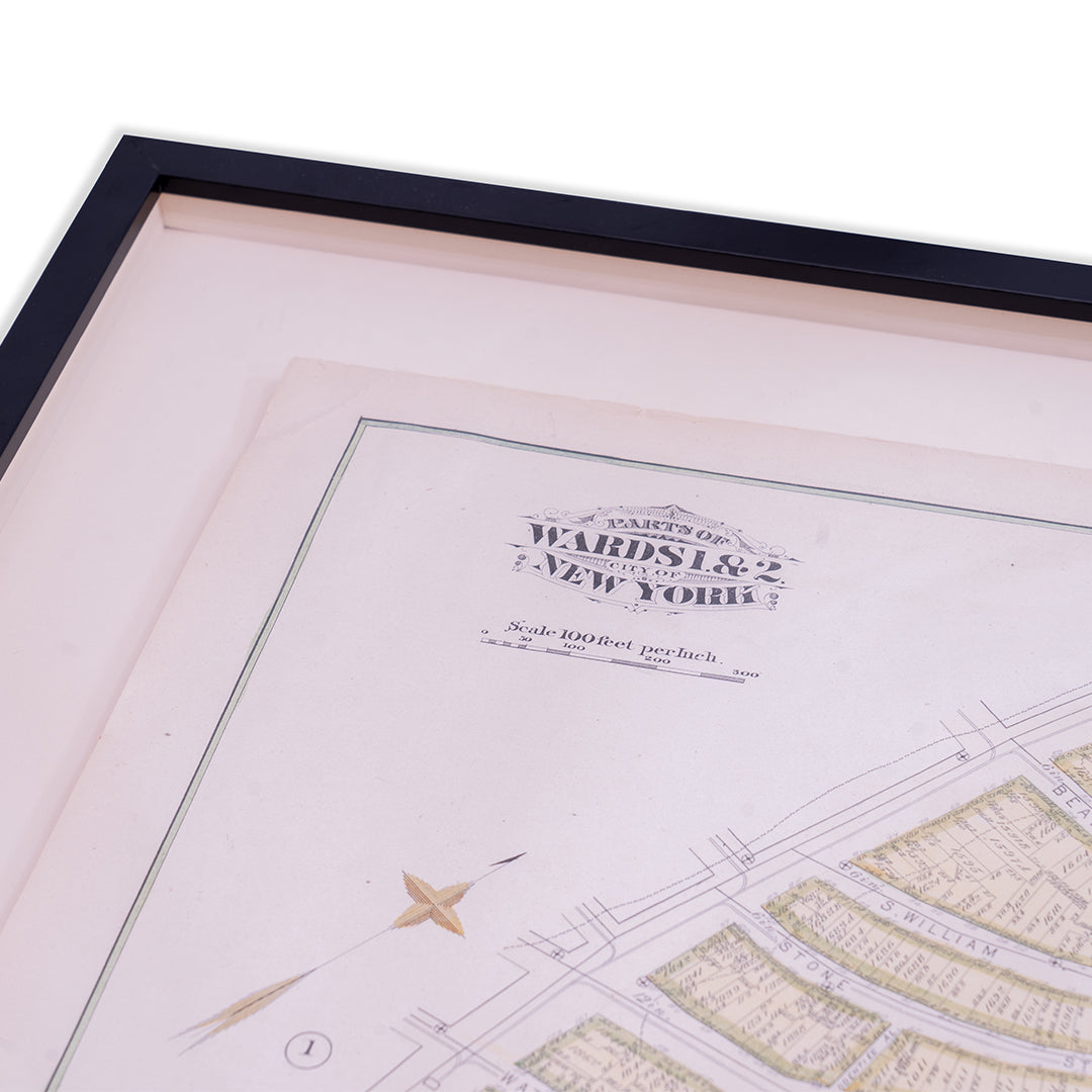
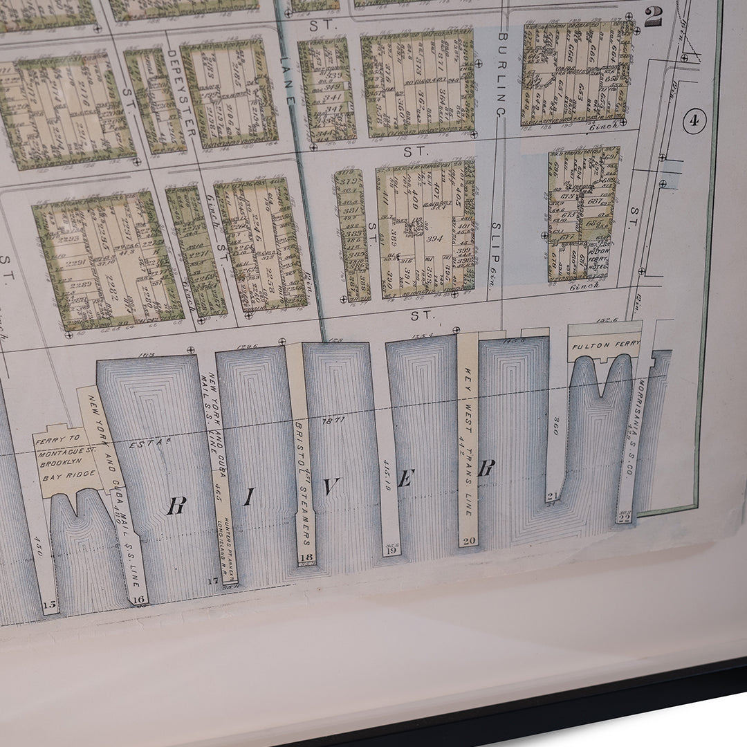
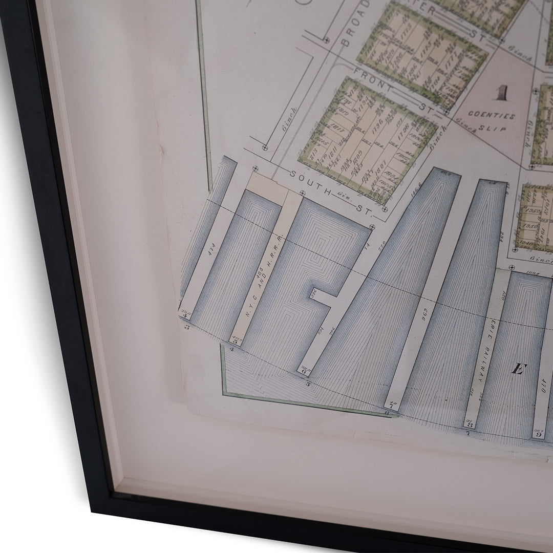
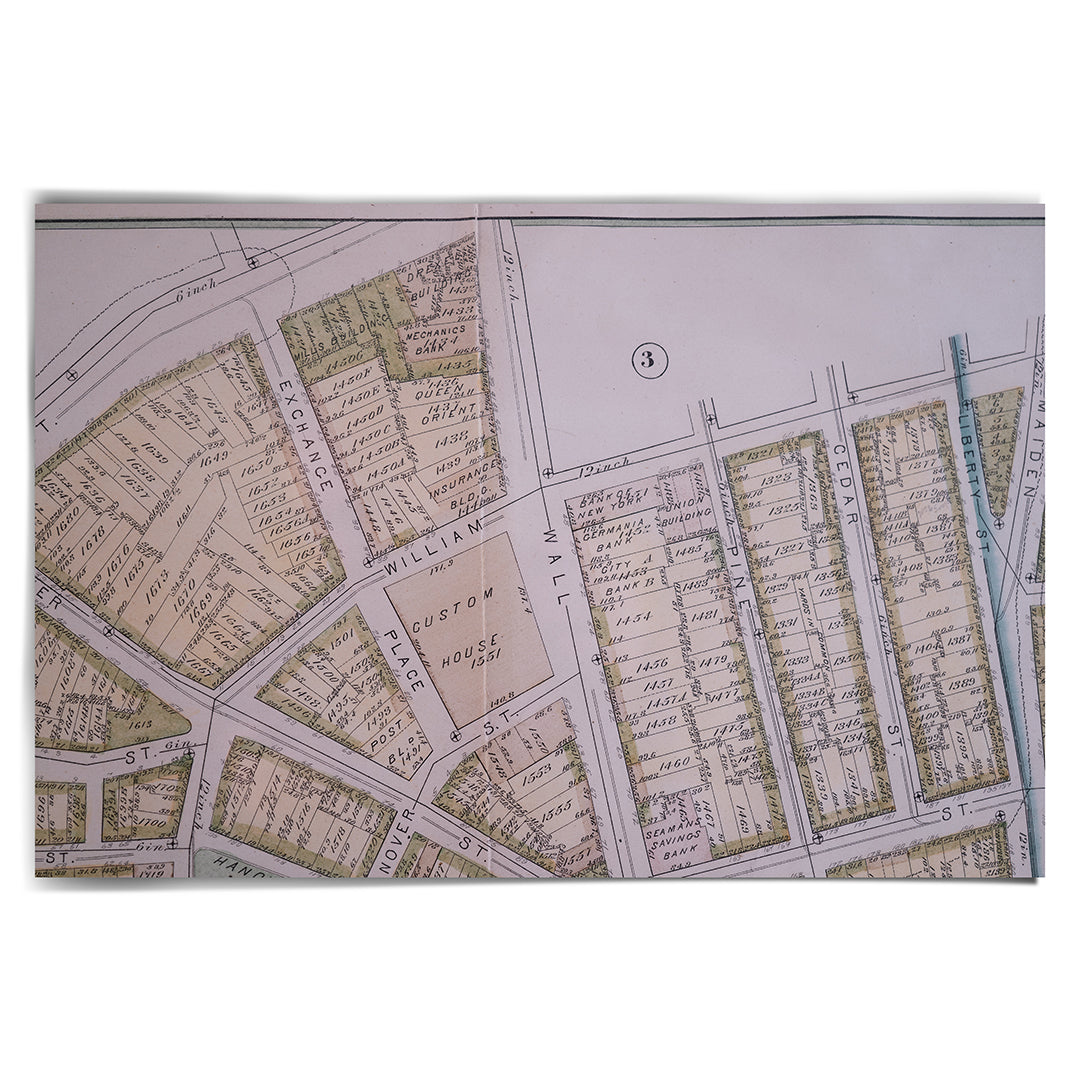
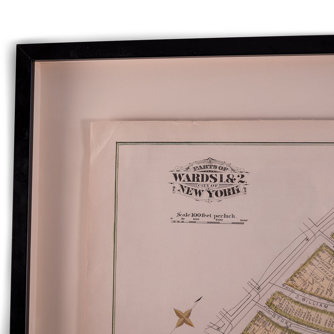
Image with text
Pair text with an image to focus on your chosen product, collection, or blog post. Add details on availability, style, or even provide a review.
-
Free Shipping
Pair text with an image to focus on your chosen product, collection, or blog post. Add details on availability, style, or even provide a review.
-
Hassle-Free Exchanges
Pair text with an image to focus on your chosen product, collection, or blog post. Add details on availability, style, or even provide a review.

