Atoned Store
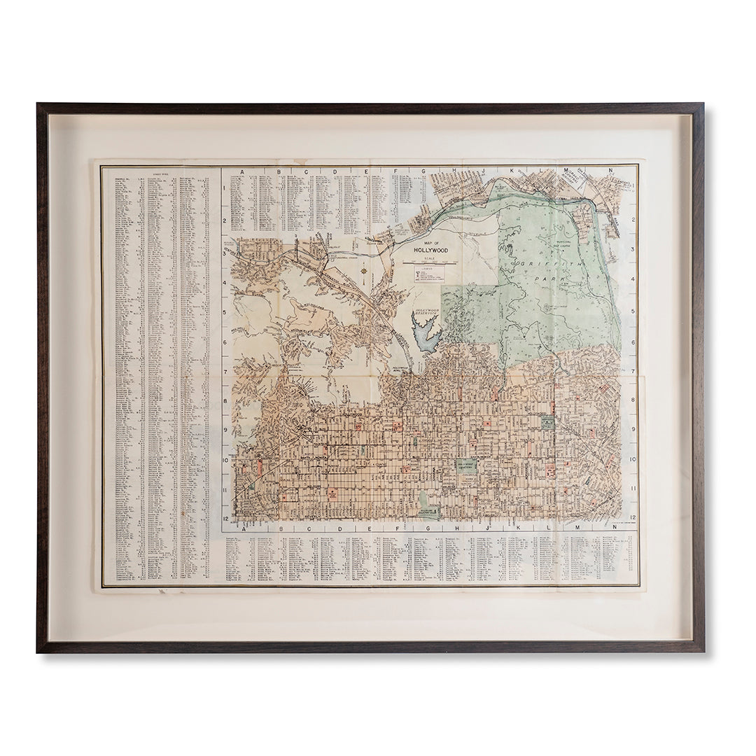
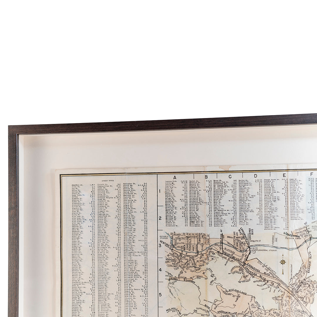
1939 Map of Hollywood
1939 Map of Hollywood
Couldn't load pickup availability
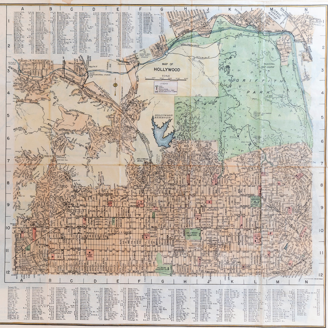
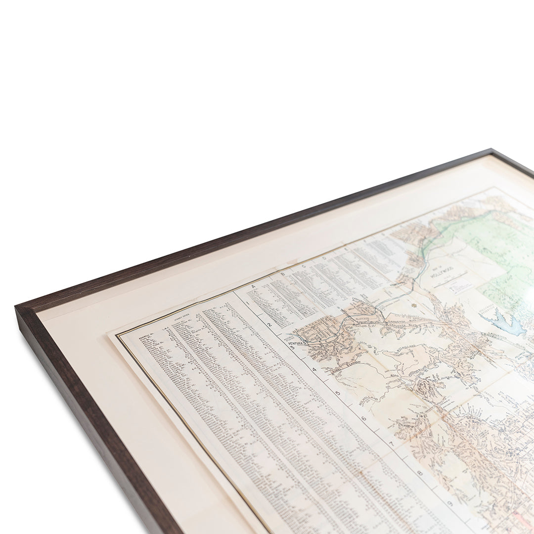
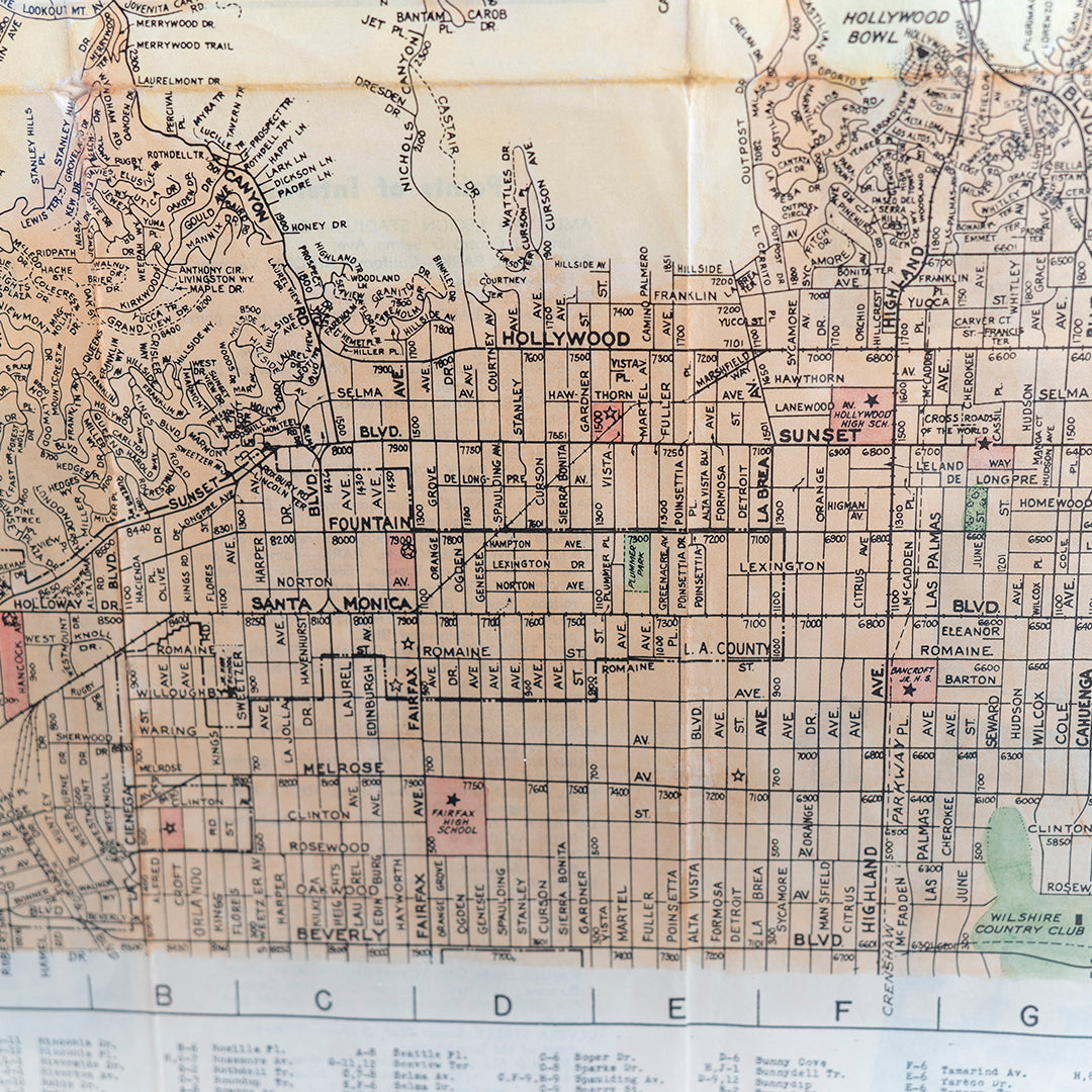
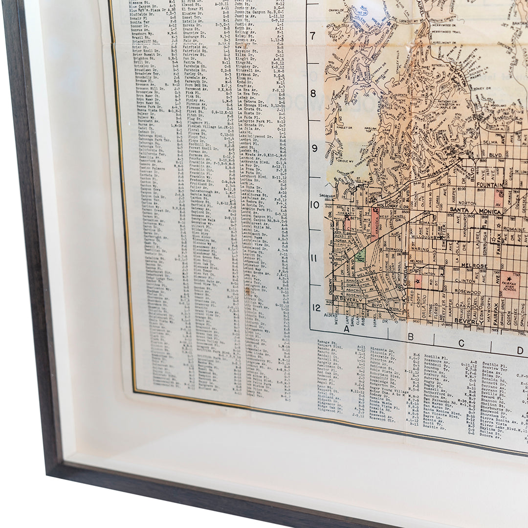
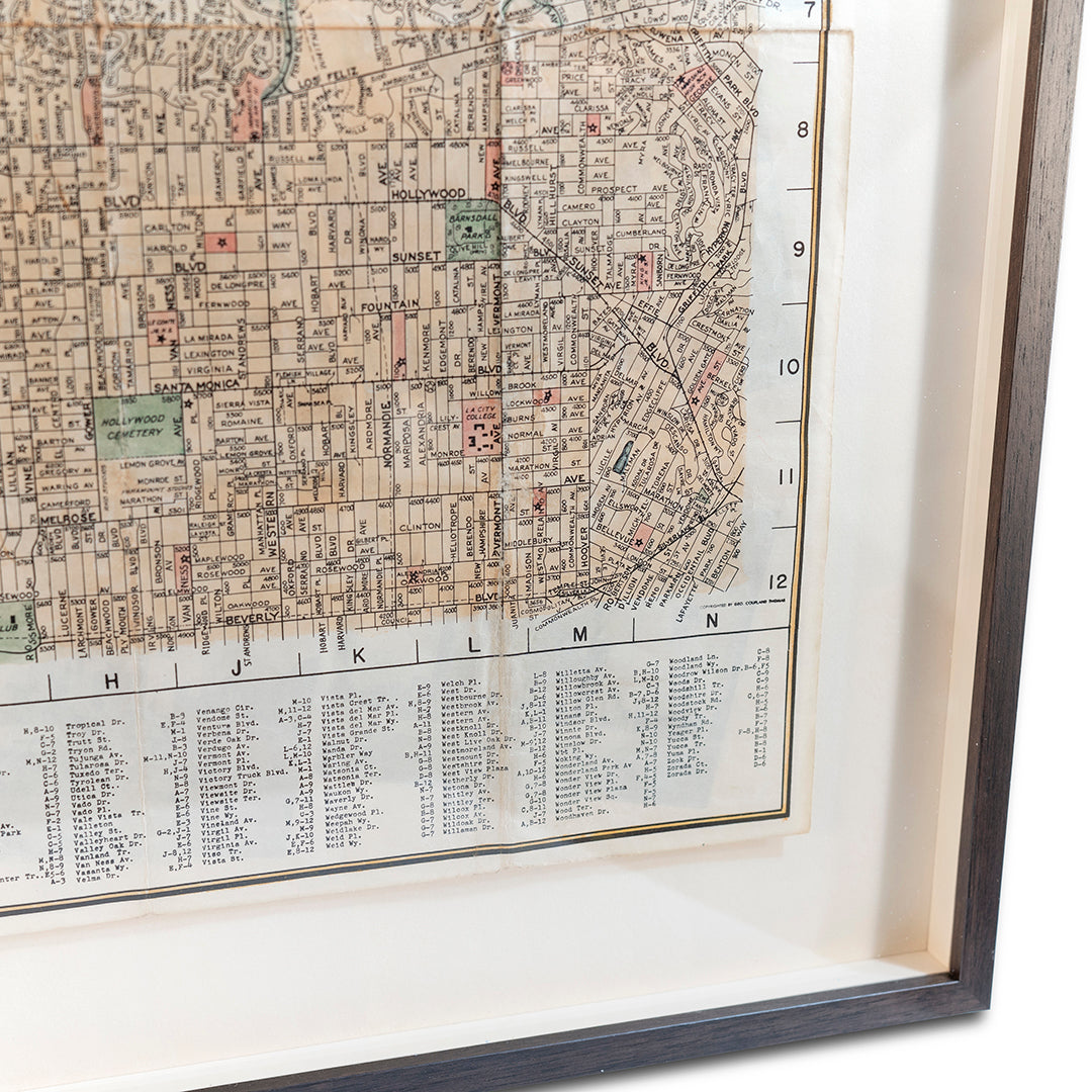
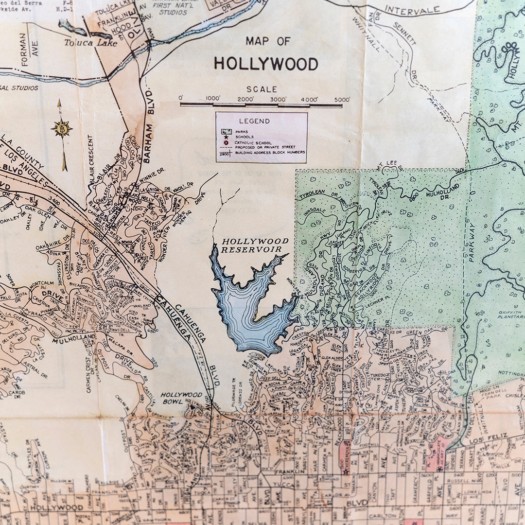
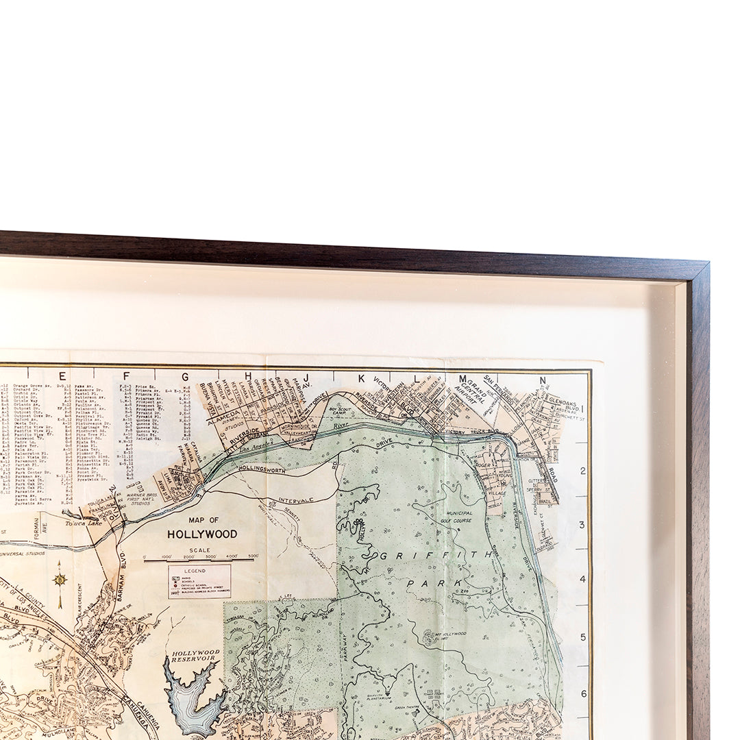
1939 Map of Hollywood - A hand colored original folding cadastral sale map for the area, hand watercolored by Ellen Cox at the request of the client, a unique and individual 1939 map from the time. The map was produced by the Los Angeles County Assessor’s Office and shows property boundaries, streets, railroads, utilities, parks, cemeteries, schools, churches, hospitals, and more. This map has been folded into an 8 1/2 x 11 inch size and is mounted onto a black board backing. The map measures approximately 7 inches wide by 10 inches tall. The map is in fine condition with some minor edge wear and creasing. There are no tears or holes. The map is signed “Ellen Cox” on the back. Fine condition , rare ephemera.
Product Features:
-Reference Number: NA
-Serial Number: NA
-Product Dimensions: 23 5/8" x 27 3/4" x 1 1/4" (Standing Length x Standing Width x Standing Depth)
-Product Weight: 7 (lb.)
-Inventory ID: A028
Materials
Materials
Shipping & Returns
Shipping & Returns
Dimensions
Dimensions
Care Instructions
Care Instructions
Image with text
Pair text with an image to focus on your chosen product, collection, or blog post. Add details on availability, style, or even provide a review.
-
Free Shipping
Pair text with an image to focus on your chosen product, collection, or blog post. Add details on availability, style, or even provide a review.
-
Hassle-Free Exchanges
Pair text with an image to focus on your chosen product, collection, or blog post. Add details on availability, style, or even provide a review.
